So what’s a drone inspection and surveying all about ?
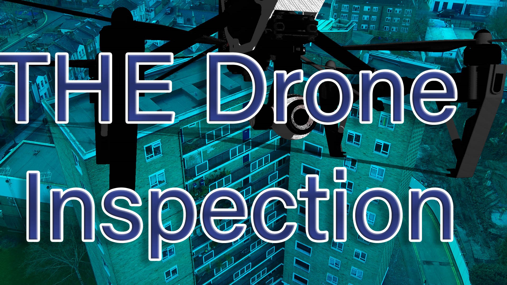
Using a drone, you may examine high-level and difficult-to-access regions of any property, giving you a complete picture of its condition and assets. In addition to roof inspections, dilapidation inspections, condition reports, flaws inspections, and buyers survey reports, equipment and personnel can help you in gather information for these and other types of assessments. Clients may observe the location, site, or property from various perspectives thanks to 360° films and photographs. To generate more accurate reports for customers regarding their building and its roof status and the site layout.
Thank you for reading this post, don't forget to subscribe!Making material available for clients in various digital formats so that it can be edited or retain it in its original form. Photos are typically taken at a resolution of 12 megapixels, but using stitching methods as high as 40 megapixels depending on camera sensors sizes and lens choices. We can collect data from any location. Thus no project is beyond limits. Post-processing software creates point clouds, orthomosaics, and 3D models from the captured data.
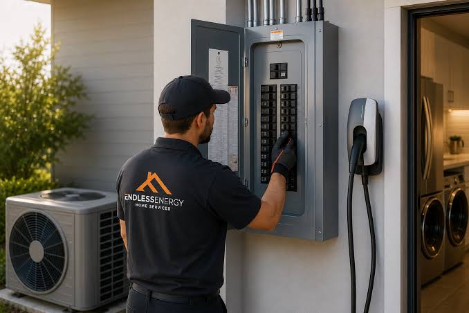
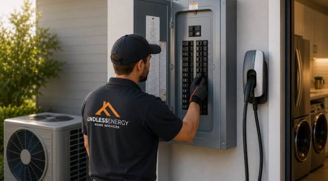
Roof surveys may be time-consuming and costly, requiring large amounts of manpower and specialised equipment. Professional drone construction surveying makes the whole procedure more straightforward and efficient. Because you won’t be going up on the top of the building you’re surveying, you won’t have to spend money on cherry pickers or scaffolding or raising platforms
Surveying rooftops and other hard-to-reach areas of buildings may be quite unaccessible, especially in the densely populated districts of of any city. An aerial survey is the best option to capture precise, thorough, and an in-depth look at any aspect of a structure. The drone inspection is a more cost-effective option for surveyors and building inspectors to find all information.
No matter what industry you operate in, getting a roof or building assessment is done as quickly as possible is essential. More and more individuals are turning to drone inspections, not just because they are more affordable but also because they are more efficient and accurate. Drone surveying eliminates the need for costly equipment and safety concerns, saving you both time and money.
When you use the drone’s telephoto lens to capture digital frames, seeing the detail down to pixel accurate detail in your reports for customers offers a greater scope for accuracy. Depending on the scale of the structure, the precision of the drone might be as low as 20 millimetres. Additionally, these surveys may deliver results within 24 hours, but this can be expedited if necessary. Using Real-time information and internet wifi picture and files are transferred install for anyone to see.
You don’t have to worry about the logistics of flying drones in various locations since the experienced crew will take care of everything. All appropriate permissions will be obtained for locations near airports, military bases, or prisons with a risk assessment to prevent any possible problems.
There are many towering hi-rise buildings in London or another city, with hard-to-reach rooftops that any qualified drone operator can scan up to 400 feet above the ground. However, we may be able to expand this if the location and permissions are in place for such an operation.
To finish a survey and obtain all important information for your customer, drone building surveying may not be your first thought. However, it is undoubtedly one of the better possibilities. A drone survey is a potential solution in highly populated regions, such as London, where either the expense or the accessibility of scaffolding and cherry pickers may be prohibitive. Drone surveys provide you with greater data to assist your customers since they are less expensive and can reach locations that standard surveying techniques cannot.
We can generally have flights scheduled within a few days, so you won’t have to wait long to conduct your next survey! With a large variety of data formats accessible, drones can take data more rapidly and effectively than conventional techniques, reducing the survey time on site without sacrificing quality. A drone survey may be used as a stand-alone service or as a complementary add-on, search locally for a drone survey inspection company, ask them for more details how they can help you on your next project.